
Most aspirants study river valley civilisations as a history chapter — memorising dates, sites, and artefacts. But UPSC examiners have consistently tested the geographical reasoning behind why these civilisations rose, flourished, and declined. If you ignore the geography, you are preparing with only half the picture.
I have seen this gap hurt students in both Prelims and Mains for over fifteen years. A question may look like history on the surface, but the correct answer often depends on understanding river systems, alluvial plains, and climate patterns. Let me walk you through exactly how these two disciplines connect and why you must study them together.
Where This Topic Sits in the UPSC Syllabus
This topic cuts across two papers directly and touches a third indirectly. Here is the exact placement:
| Exam Stage | Paper | Syllabus Section |
|---|---|---|
| Prelims | General Studies | Indian History — Ancient India; World History (indirect) |
| Mains | GS-I | Indian Culture — Salient aspects of Art Forms, Literature, Architecture from ancient to modern times |
| Mains | GS-I | World History — Events from 18th century (background context of early civilisations) |
| Mains | GS-I | Geography — Salient features of World’s Physical Geography; Distribution of key natural resources |
UPSC has asked direct questions on the Indus Valley Civilisation in Prelims at least 8-10 times in the last two decades. Mains questions often demand analytical answers connecting environment, trade, and urbanisation — all requiring geographical knowledge.
The Geographical Foundation of Early Civilisations
Every major ancient civilisation emerged along a river. The Indus Valley along the Indus and Ghaggar-Hakra. Mesopotamia between the Tigris and Euphrates. Egypt along the Nile. China along the Huang He (Yellow River). This is not a coincidence — it is geography shaping human settlement.
Rivers provided three essentials: fresh water for drinking and irrigation, fertile alluvial soil for agriculture, and a transport network for trade. Without understanding fluvial geomorphology — how rivers deposit sediment and create floodplains — you cannot explain why Harappa and Mohenjo-daro grew where they did.
The concept of the Hydraulic Hypothesis, proposed by Karl Wittfogel, argues that the need to manage large-scale irrigation systems led to centralised political authority. In simple terms, controlling water meant controlling power. This idea directly connects geography (river management) to polity (state formation). UPSC loves this kind of interdisciplinary thinking.
The Indus Valley — A Case Study in Combined Analysis
Consider the Indus Valley Civilisation (IVC), roughly 3300 BCE to 1300 BCE. From a pure history lens, you study its urban planning, seals, script, trade with Mesopotamia, and eventual decline. But geography adds layers that history alone cannot.
The IVC sites spread across a massive area — from Sutkagen Dor in Balochistan to Daimabad in Maharashtra. Why such a vast spread? Because the civilisation followed river systems. The Ghaggar-Hakra river system, which many scholars identify with the Vedic Sarasvati, supported dozens of settlements in present-day Rajasthan and Haryana.
The decline of the IVC is also best explained through geography. Tectonic shifts likely changed the course of rivers. The Ghaggar-Hakra dried up. Monsoon patterns shifted. Floods increased in Sindh. Without geographical understanding, the decline looks mysterious. With it, the picture becomes clear — the environment changed, and the civilisation could not adapt.
Comparing River Valley Civilisations — The UPSC Way
UPSC Mains often asks comparative questions. You may be asked to compare the urban features of Indus and Mesopotamian civilisations or explain why Egyptian civilisation lasted longer. Here, both geography and history are needed.
Egypt’s Nile floods were remarkably predictable — arriving every year between June and September. This predictability allowed stable agriculture and long-term planning. The Indus floods, by contrast, were less predictable and more destructive. This geographical difference shaped the political and social structures of both civilisations differently.
Mesopotamia sat at a crossroads of trade routes between Asia, Africa, and Europe. Its geography made it wealthy but also vulnerable to invasion. The Indus Valley, protected by mountains to the north and desert to the east, had natural geographic defences. These factors shaped their histories in fundamentally different ways.
How UPSC Tests This Interdisciplinary Understanding
In Prelims, UPSC tests factual knowledge — which sites had dockyard facilities (Lothal), which had a citadel (Mohenjo-daro), or which crops were cultivated (wheat, barley, cotton). But notice: even knowing that Lothal had a dockyard requires understanding that it was a port city near the Gulf of Khambhat — a geographical fact.
In Mains, the questions go deeper. A 2019 question asked about the “weights and measures” of the Indus Valley Civilisation in the context of trade. Answering this well requires you to understand the maritime and overland trade routes — which is geography — alongside the archaeological evidence — which is history.
For GS-I answer writing, I always advise my students to structure answers with a geographical introduction before diving into historical facts. This shows the examiner that you think holistically, which is exactly what the civil services demand.
Previous Year UPSC Questions on This Topic
Q1. Which of the following characterises/characterise the people of the Indus Civilisation? 1. They had great palaces and temples. 2. They worshipped both male and female deities. 3. They employed horse-drawn chariots in warfare.
(UPSC Prelims 2013 — GS)
Answer: Only statement 2 is correct. There is no archaeological evidence of grand palaces or temples in IVC sites. Horse-drawn chariots are associated with the later Vedic period, not the Indus civilisation. Evidence of both male (Pashupati seal) and female (Mother Goddess figurines) worship exists.
Explanation: This question tests whether you rely on assumptions or actual archaeological evidence. Many students wrongly assume a great civilisation must have temples. The IVC was unique — its public structures were functional (Great Bath, granaries), not religious in the traditional sense. Understanding the material culture requires both artefact analysis (history) and site geography.
Q2.935 Discuss the extent to which the Indus Valley Civilisation was an urban civilisation.
(UPSC Mains-style analytical question — GS-I)
Answer: The IVC displayed advanced urban characteristics including grid-pattern town planning, standardised brick sizes, sophisticated drainage systems, and distinct citadel-lower town divisions. Cities like Mohenjo-daro and Harappa had populations likely exceeding 40,000. However, the civilisation was not exclusively urban. Sites like Kalibangan and Banawali show semi-rural features. The urban centres depended on agricultural hinterlands supported by river irrigation. The civilisation’s urbanism was thus a product of both planned human effort and favourable geographical conditions — fertile floodplains and reliable water sources that generated surplus grain to sustain non-agricultural populations.
Explanation: The examiner wants you to go beyond listing urban features. You must analyse what made urbanisation possible. The geographical surplus-generation model is key. Without fertile alluvial soil and river water, there would be no food surplus, and without surplus, no specialisation of labour or urban growth.
Q3. How did changes in river courses and climate contribute to the decline of the Harappan Civilisation?
(UPSC Mains-style question — GS-I)
Answer: Multiple geographical factors contributed to the mature Harappan decline around 1900 BCE. The Ghaggar-Hakra river system, which sustained settlements in Cholistan and Rajasthan, gradually dried up due to tectonic activity diverting its tributaries towards the Ganga and Yamuna systems. Simultaneously, evidence suggests weakening of the monsoon around 2000 BCE, reducing rainfall across the region. In Sindh, increased flooding of the Indus — possibly due to tectonic uplift near Mohenjo-daro — damaged urban infrastructure repeatedly. These environmental stresses led to de-urbanisation, migration eastward towards the Ganga-Yamuna doab, and a shift from urban to rural settlement patterns seen in the Late Harappan phase.
Explanation: This is a classic interdisciplinary question. Pure history students struggle here because they cannot explain tectonic shifts or monsoon changes. The answer requires palaeoclimatology (study of ancient climates) and fluvial geography alongside archaeological evidence. This is exactly why both subjects must be studied together for this topic.
Key Points to Remember for UPSC
- Alluvial soil and river water were the primary reasons civilisations emerged along rivers — not random chance.
- The Hydraulic Hypothesis (Karl Wittfogel) links irrigation management to the rise of centralised state power.
- The Ghaggar-Hakra river system supported more IVC sites than the Indus itself — its drying up was a major factor in civilisational decline.
- Egypt’s Nile floods were predictable; Indus floods were not — this shaped their governance structures differently.
- Lothal’s dockyard is both a historical fact and a geographical feature — it proves maritime trade via the Gulf of Khambhat.
- IVC decline was multi-causal: tectonic changes, monsoon weakening, river course shifts, and possible overuse of resources.
- For Mains answers on ancient civilisations, always begin with the geographical context before presenting historical evidence.
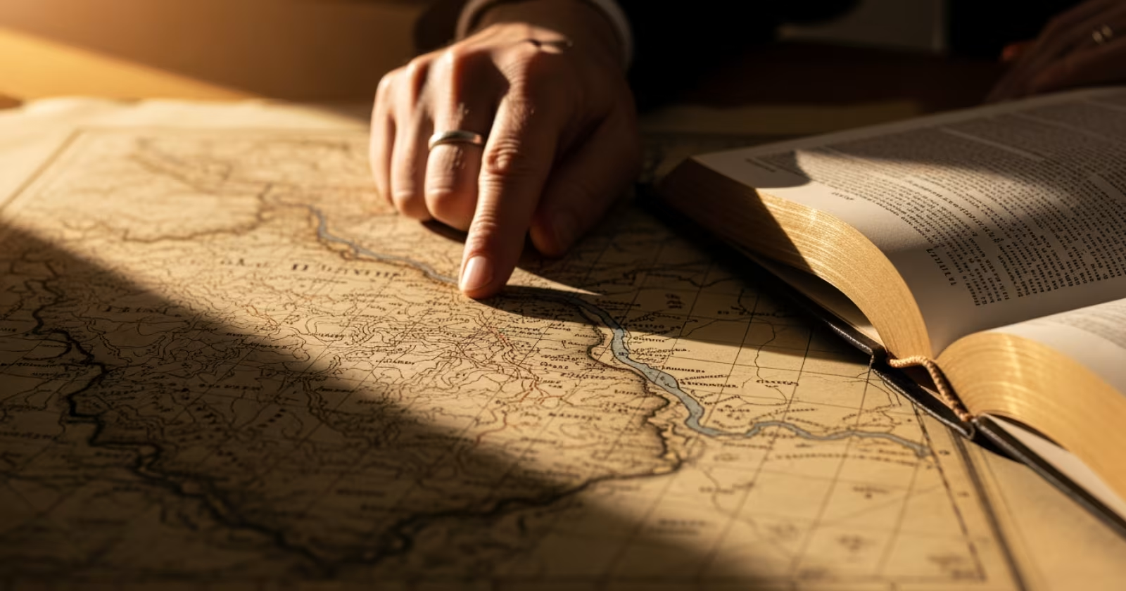
Studying river valley civilisations through only one lens — either history or geography — leaves gaps that UPSC will exploit. Make it a habit to read the geography chapter of any ancient civilisation alongside its history. A good starting point is to map the major IVC sites on a physical map of South Asia and trace the river systems connecting them. This single exercise will strengthen both your Prelims recall and your Mains analytical depth.
Get fastest alerts on Results, Admit Cards & Govt Jobs directly on your phone.