
India has a coastline stretching over 7,500 kilometres, and yet most UPSC aspirants study ports as isolated geography facts. The real exam edge comes when you connect port locations to India’s trade routes, foreign policy, and maritime security — because that is exactly how UPSC frames its questions across multiple papers.
I have seen aspirants lose marks in Mains simply because they treated ports as a GS-I topic alone. In this piece, I will walk you through every major port, its strategic location, its trade significance, and how it links to security concerns. By the end, you will have a single, unified framework for answering questions across GS-I, GS-II, and GS-III.
Where This Topic Sits in the UPSC Syllabus
This is one of those rare topics that cuts across three General Studies papers. Let me break it down clearly.
| Exam Stage | Paper | Syllabus Section |
|---|---|---|
| Prelims | General Studies | Indian Geography — Ports, Waterways, Transport |
| Mains | GS-I | Distribution of key natural resources; factors responsible for location of industries |
| Mains | GS-II | India and its neighbourhood — relations; bilateral and regional groupings |
| Mains | GS-III | Infrastructure — Ports; Security challenges in border areas; maritime security |
In Prelims, expect factual questions about port locations and associated waterways. In Mains, the examiner wants you to analyse how port geography shapes India’s trade competitiveness and security posture. Questions on Sagarmala, the Indo-Pacific, and Chabahar Port have appeared repeatedly since 2017.
India’s 13 Major Ports — A Geographic Overview
India currently has 13 major ports governed by the central government under the Major Port Authorities Act, 2021. These are spread across the western coast (6 ports), eastern coast (6 ports), and the Andaman and Nicobar Islands (1 port).
On the western coast, from north to south, you have Deendayal (Kandla), Mumbai Port, Jawaharlal Nehru Port (JNPT), Mormugao, New Mangalore, and Cochin. On the eastern coast, from south to north, you have V.O. Chidambaranar (Tuticorin), Chennai, Kamarajar (Ennore), Visakhapatnam, Paradip, and Kolkata (including Haldia). The 13th is Port Blair in the Andaman and Nicobar Islands.
The western coast handles most of India’s trade with the Gulf nations, Europe, and Africa. The eastern coast connects India to Southeast Asia, East Asia, and the broader Indo-Pacific. This basic geographic split is the foundation for understanding both trade and security dimensions.
The Trade Policy Connection
India’s port geography directly shapes its trade competitiveness. Let me explain how. About 95 per cent of India’s trade by volume and around 65 per cent by value moves through sea routes. The efficiency of ports determines how quickly Indian goods reach global markets and how cheaply imports arrive.
JNPT near Mumbai handles the largest share of container traffic. It is India’s gateway for trade with Europe and the Americas. The Sagarmala Programme, launched in 2015, aims to reduce logistics costs by modernising ports and developing port-linked industrial clusters. Under this scheme, over 800 projects worth several lakh crore rupees were identified.
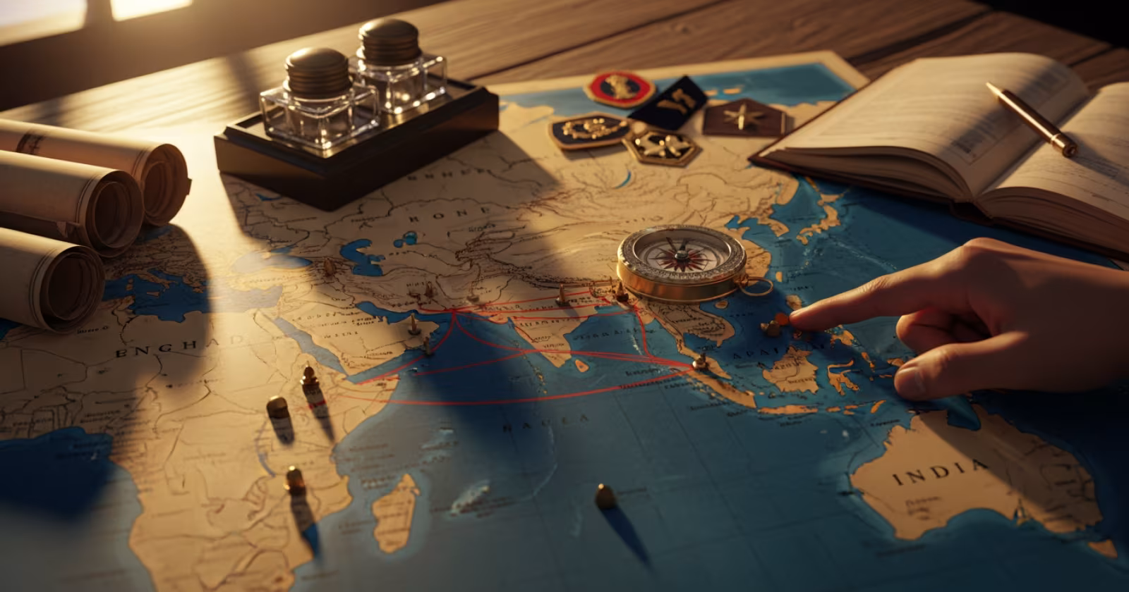
The eastern coast is becoming increasingly relevant because of India’s Act East Policy. Ports like Visakhapatnam, Chennai, and Kolkata are positioned to serve as trade hubs connecting India with ASEAN nations. The development of Chabahar Port in Iran — operated partly by India — gives India an alternative trade route to Afghanistan and Central Asia, bypassing Pakistan entirely. This is a perfect example of how port investment becomes foreign policy.
India’s push for coastal shipping and the National Waterways network also ties into this. Waterway 1 (Ganga) connects to Kolkata-Haldia port. The idea is to move cargo from road to water, cutting costs and emissions. For UPSC Mains, always connect port development to logistics efficiency, Make in India, and export competitiveness.
The Maritime Security Dimension
Now, here is where most aspirants miss the bigger picture. India’s ports are not just economic assets. They are strategic military positions.
Visakhapatnam is the headquarters of the Eastern Naval Command. Mumbai hosts the Western Naval Command. Kochi is where the Southern Naval Command operates and where India’s first indigenous aircraft carrier INS Vikrant was built at Cochin Shipyard. The Andaman and Nicobar Command — India’s only tri-service command — sits at Port Blair, right at the mouth of the Malacca Strait.
Think about that location for a moment. The Malacca Strait is one of the world’s busiest shipping chokepoints. China depends on it for its oil imports. India’s presence in the Andaman and Nicobar Islands gives it a natural surveillance and response capability over this critical waterway. This is a recurring theme in UPSC questions on the Indo-Pacific strategy.
After the 26/11 Mumbai attacks in 2008, coastal security received a major overhaul. The Indian Navy, Coast Guard, and marine police now jointly patrol India’s coastline. Port security is governed by the ISPS Code (International Ship and Port Facility Security Code). For GS-III answers on internal security, always mention the multi-agency coordination framework and the role of the National Committee for Strengthening Maritime and Coastal Security (NCSMCS).
How UPSC Tests This — Connecting the Dots
UPSC rarely asks “Name the 13 major ports.” Instead, it frames questions that require you to connect geography with policy. A 2019 Mains question asked about Chabahar Port’s strategic significance. A 2022 Prelims question tested knowledge about port locations on specific coasts.
When you write a Mains answer on ports, use this three-layer framework. First, state the geographic fact — where the port is and what waterways it accesses. Second, explain the trade or economic implication. Third, connect it to a security or foreign policy angle. This layered approach impresses examiners because it shows interdisciplinary thinking.
For instance, if asked about the Sagarmala Programme, do not just list its components. Explain how port-led development on the eastern coast supports Act East Policy, how coastal economic zones reduce pressure on inland transport, and how modernised ports improve India’s maritime domain awareness.
Key Points to Remember for UPSC
- 13 major ports are under central government control; approximately 200 minor ports are under state governments.
- The Major Port Authorities Act, 2021 replaced the 1963 Act to give ports more autonomy in decision-making and pricing.
- Western coast ports primarily serve Gulf, European, and African trade routes; eastern coast ports connect to ASEAN and East Asia.
- Chabahar Port is India’s strategic counter to Pakistan’s Gwadar Port and China’s String of Pearls strategy.
- The Andaman and Nicobar Islands give India a natural advantage for monitoring the Malacca Strait chokepoint.
- Sagarmala’s four pillars: port modernisation, port connectivity, port-led industrialisation, and coastal community development.
- Post-26/11, India established a coastal radar chain and AIS (Automatic Identification System) network covering the entire coastline.
- For Mains, always link port geography to at least two GS papers — this demonstrates integrated understanding.
Understanding India’s port geography as a unified system — rather than isolated facts — gives you a clear advantage in both Prelims and Mains. As a next step, mark all 13 major ports on a blank India map, label the naval commands, and practise writing one 250-word answer connecting any single port to trade, security, and foreign policy. That single exercise will prepare you for a wide range of questions across papers.