
Most UPSC aspirants study physical geography and disaster management as two separate chapters. That is a mistake I see students make every single year. The tectonic plates that shape India’s mountains are the same forces that trigger its earthquakes. The monsoon winds that define its climate zones are the same systems that cause its floods. Once you see this connection, both GS-I and GS-III become easier to answer — and your answers become richer.
In this piece, I will walk you through India’s disaster landscape by anchoring every disaster type to its geographic root. This is how the UPSC examiner thinks, and this is how your preparation should be structured.
Where This Topic Sits in the UPSC Syllabus
This topic is unique because it straddles two General Studies papers. Understanding this overlap is your biggest advantage in both Prelims and Mains.
| Exam Stage | Paper | Syllabus Section |
|---|---|---|
| Prelims | General Studies | Indian and World Physical Geography |
| Mains | GS-I | Salient features of World’s Physical Geography — Geophysical phenomena such as earthquakes, tsunami, volcanic activity, cyclone |
| Mains | GS-III | Disaster and Disaster Management |
Questions on this overlap appear almost every year. In 2023, UPSC asked about glacial lake outburst floods — a topic rooted in Himalayan geography but tested under disaster management. In 2019, a question on cyclone management required knowledge of Bay of Bengal’s warm-water geography. The examiner rewards aspirants who connect these dots.
India’s Tectonic Setting and Seismic Disasters
India sits on the Indian Plate, which is continuously pushing northward into the Eurasian Plate at roughly 5 centimetres per year. This collision created the Himalayas and continues to generate enormous stress along fault lines. This is pure GS-I physical geography. But the consequence — devastating earthquakes in Zones IV and V — is GS-III disaster management.
Around 59% of India’s landmass is vulnerable to earthquakes of moderate to severe intensity. The most dangerous Zone V covers parts of Kashmir, the Northeast, Kutch in Gujarat, and parts of Himachal Pradesh. The 2001 Bhuj earthquake killed over 20,000 people. Its root cause was the reactivation of ancient fault lines in the Kutch rift basin — a geological feature formed millions of years ago.
When you study plate tectonics for GS-I, always note which Indian regions fall under which seismic zone. When you study disaster preparedness for GS-III, recall why those zones exist. The geography explains the vulnerability. The vulnerability demands the management strategy.
Monsoon Dynamics and Flood Vulnerability
The Indian monsoon is the most tested topic in UPSC geography. But the monsoon is also India’s biggest annual disaster trigger. Over 40 million hectares of land in India are flood-prone. The states most affected — Assam, Bihar, Uttar Pradesh, West Bengal — are all located in the floodplains of major Himalayan rivers.
Here is the geographic connection. The Himalayas are young fold mountains. Their rivers carry heavy sediment loads. When these rivers enter the flat Gangetic plains, their gradient drops sharply. They deposit sediment, raise their own riverbeds, and frequently change course. This is why North Bihar floods almost every monsoon season. The Kosi River, called the “Sorrow of Bihar,” has shifted its course by over 100 kilometres in the last two centuries.
For GS-I, you explain the fluvial geomorphology. For GS-III, you discuss flood zoning, early warning systems, and the role of the Central Water Commission. The physical geography is the foundation. Disaster management is the policy response built on top of it.
Coastal Geography and Cyclone Corridors
India has a 7,516-kilometre coastline. The Bay of Bengal on the east coast is significantly warmer than the Arabian Sea on the west. Warm sea-surface temperatures are fuel for tropical cyclones. This is why the east coast — Odisha, Andhra Pradesh, Tamil Nadu, West Bengal — faces far more cyclones than the west coast.
The Bay of Bengal is semi-enclosed. Cyclones that form here do not dissipate over open ocean. They almost always make landfall. The funnel shape of the northern Bay, near the Sundarbans and Bangladesh, amplifies storm surges. The 1999 Odisha super cyclone was a direct product of this geography.
In recent years, cyclones in the Arabian Sea have increased. Cyclone Biparjoy in 2023 and Cyclone Tauktae in 2021 hit Gujarat. Scientists link this to rising sea-surface temperatures due to climate change — another GS-III topic. When you study Indian Ocean geography, always connect it to cyclone disaster preparedness, coastal regulation zones, and the role of the India Meteorological Department.
Himalayan Fragility and Landslide Hazards
The Himalayas are geologically young and tectonically active. The rocks are not fully consolidated. Heavy monsoon rainfall saturates slopes. Deforestation removes root systems that hold soil together. The result is landslides — thousands of them every year across Uttarakhand, Himachal Pradesh, Sikkim, and the Northeast.
The 2013 Kedarnath disaster was triggered by a cloudburst over a glacial lake. The flood carried massive debris down unstable Himalayan slopes and destroyed an entire town. This single event tested knowledge of glaciology, cloud burst mechanisms, slope stability, flash floods, and disaster response — all in one.
Glacial Lake Outburst Floods, or GLOFs, are a growing threat. As temperatures rise, Himalayan glaciers melt and form unstable lakes behind moraine dams. When these dams break, the water rushes downstream with catastrophic force. The 2023 South Lhonak Lake GLOF in Sikkim destroyed the Teesta-III dam. For UPSC 2026, GLOFs are a high-priority topic that sits perfectly at the intersection of physical geography and disaster management.
Drought Geography and the Rain Shadow Factor
Western Rajasthan, parts of Gujarat, rain shadow regions of the Deccan Plateau, and interior Karnataka face chronic drought. The geography is straightforward. The Western Ghats block moisture-laden winds from the Arabian Sea. Areas on the leeward side — Marathwada, Vidarbha, Rayalaseema — receive significantly less rainfall.
Drought is not just about low rainfall. It is about the relationship between rainfall, soil type, groundwater availability, and cropping patterns. The black cotton soil of the Deccan retains moisture but cracks deeply when dry, destroying root systems. Sandy soils in Rajasthan cannot hold water at all. Understanding this soil geography is essential for answering GS-III questions on drought management, watershed development, and the National Disaster Management Authority guidelines on drought.
Connecting the Dots — How to Use This in the Exam
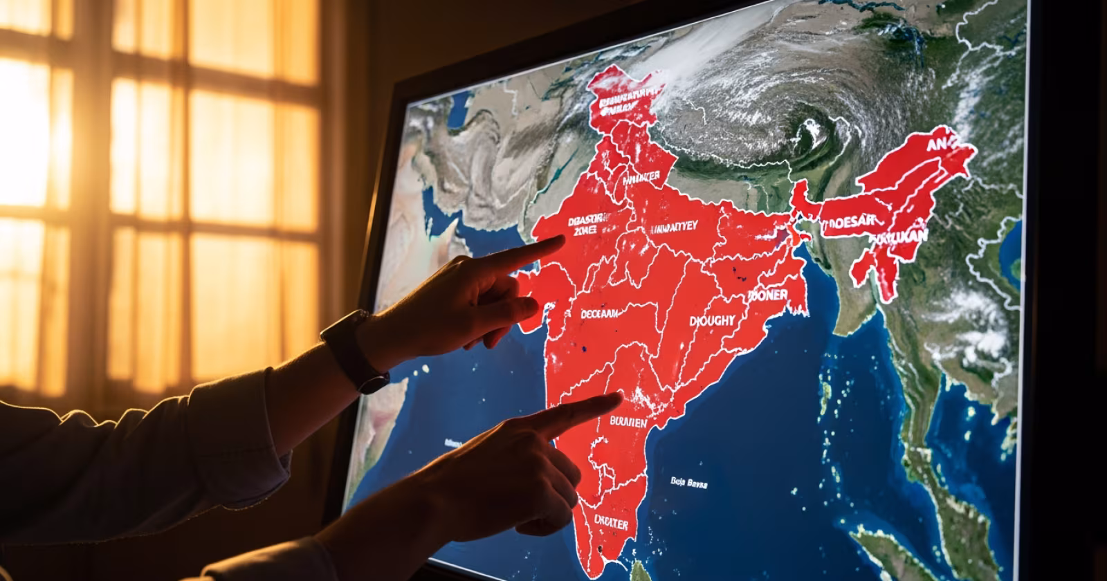
I always tell my students: do not study disasters as a list. Study them as a map. When you look at India’s physical map, you should be able to see the disaster map overlaid on it. The seismic zones follow the plate boundaries. The flood zones follow the river basins. The cyclone corridors follow the warm ocean currents. The drought regions follow the rain shadow areas.
In Mains answers, this approach helps you write layered responses. A question on flood management in India becomes stronger when you begin with a brief geographic explanation of why certain regions flood. A question on earthquake preparedness gains depth when you mention the specific tectonic context of Zone V regions. The examiner looks for this analytical integration.
Key Points to Remember for UPSC
- 59% of India’s landmass is seismically vulnerable — directly linked to the Indian Plate’s northward collision with the Eurasian Plate.
- Himalayan rivers cause annual floods in the Gangetic plains due to heavy sediment loads and sudden gradient reduction.
- The Bay of Bengal produces more cyclones than the Arabian Sea because of warmer sea-surface temperatures and semi-enclosed geography.
- GLOFs are an emerging disaster type linked to climate change and Himalayan glacial retreat — tested in UPSC 2023.
- Rain shadow regions behind the Western Ghats form India’s chronic drought belt.
- The Disaster Management Act, 2005 provides the institutional framework, but geographic understanding explains the spatial pattern of disasters.
- Always connect GS-I geographic causes with GS-III management responses in Mains answers for richer analysis.
Geography is not just about maps and locations. It is the foundation on which India’s entire disaster vulnerability rests. If you spend time building a strong mental map of India’s physical features — its plates, its rivers, its coastline, its mountains — disaster management will feel like a natural extension rather than a separate subject. As a next step, take a blank map of India and mark all five seismic zones, major flood-prone river basins, and cyclone-prone coastal stretches on a single sheet. That one exercise will connect more dots than a week of reading separate chapters.
Get fastest alerts on Results, Admit Cards & Govt Jobs directly on your phone.